

![[soaring]](images/soaring.jpg)
TopoVista is a software package that allows one to interactively walk (or fly) over a surface defined by a U.S. Geological Survey Digital Elevation Model (DEM). It's based on Right-triangulated Irregular Networks (Algorithmica 30, 2) by Evans, Kirkpatrick, and Townsend.
We are no longer working on TopoVista, but you are welcome to download and use the software.
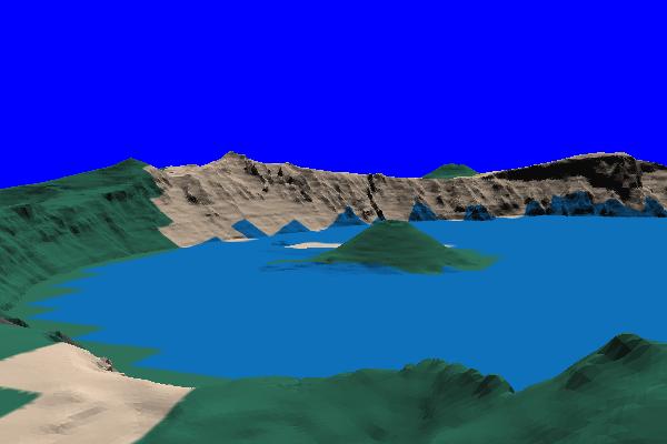
Crater Lake |
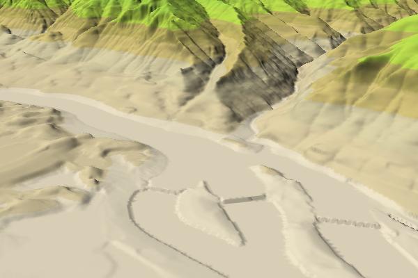
Bonneville Dam |
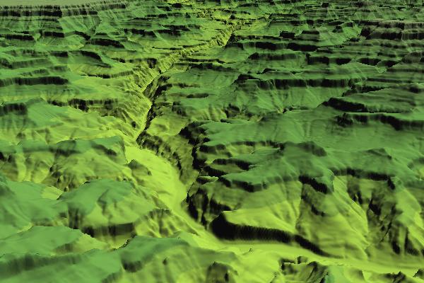
Grand Canyon |
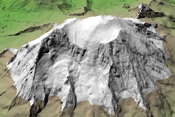
Mount Rainier |
|
Version 4.0 October 28, 2003 |
Documentation
topo-4.0.tar.gz (1459480 bytes) topo-4_0.zip (1704890 bytes) |
|
Version 3.0 December 16, 2000 |
README-3.0
topo-3.0.tar.gz (602440 bytes) topo-3_0.zip (605844 bytes) |
|
Version 2.0 March 28, 1999 |
README-2.0
topo-2.0.tar.gz (592486 bytes) topo-2_0.zip (598036 bytes) |
|
Version 1.0 June 30, 1997 |
README-1.0
topo.1.0.tar.gz (146867 bytes) topo_1_0.zip (155282 bytes) |
This project was part of the Fault Tolerant Network research project.